by steve, on July 7th, 2005 (
Round Long Island, USA)
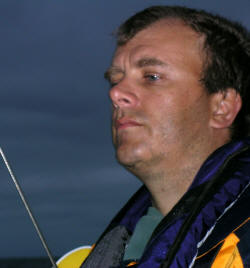 Figuring we may get better weather than the previous day and that we had made extra distance day 1, we decided to shoot for our Day 3 destination, Shinnecock Bay. To have a shot at this we had to leave really early. We therefore awoke at 3am and were moving by 3:19am.My 2.25 million candle torch came in handy. Bob was at the bow illuminating buoys as we approached them. I was using my GPS to navigate the channels using the information we learned from our passage into the inlet. The challenge with these areas is that sands shift and hence so do the channels. Therefore, not all the buoys are in the same position as the charts.
We left at low tide and as a consequence there was one point where the keel dragged through the mud on the bottom. Apart from this, we managed to exit the inlet pretty easily and headed out into the ocean.
The wind was stronger than the previous day but still coming from the north east which is where we wanted to go. Nevertheless, we put up the sails and made go for it.
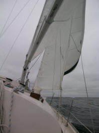 The Atlantic Ocean gave us a tough time. At least it did me anyway. I think Bob was in his element. At one point I had an extreme urge to use the head. My bowels emptied in a big way. With the 4 foot ways and the bouncing of the boat it made quite a mess which I had to clear up. Being down below decks on a heeling and rocking boat before you get your sea legs is bad enough. Cleaning self and the bowl does not add to the fun. By the time I got back on deck I was feeling very bad and promptly heaved what was left inside me over the side. I had a good wretch which made me feel a bit better. But too much as I was sick again a little later.
By 7:30am we had covered nearly 18nm, 14nm from the mouth of the inlet and were over 7nm from the nearest land. The waves were getting into a rhythm which was killing our boa speed. We were down to 2 knots. Our straight line distance to our goal was 44nm which now looked untenable. Given that the tail end of hurricane Cindy was going to hit within 24 hours, we had to abandon this goal. Fire Island Inlet was about 8nm away, the next inlet was Moriches, a nasty one, over 30nm away. Long Island has an navigable inland waterway for much of the South side which now appeared to be our option to be sheltered from the worst of Cindy. Moriches was not on so we turned on the motor and ducked into the waterway at Fire Island inlet.
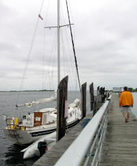 By 10:40am we had reached a marina called Captree Island Marina. It was really a base for party fishing boats. We were able to top up with fuel and have cheeseburgers for lunch. The fuel dock was more suited for much bigger, steel sided fishing boats rather than our little yacht. With my limited docking experience, I earned a couple of gouges on the side of the boat as I bought her up against the pilings.
At 12:02 we set off, motoring, along the inland waterway reaching Brookhaven by evening. At 6:38pm we pulled into Center Yacht club where we tied up in a slip for that evening. For dinner, we walked a mile and a half and had more burgers and fries at Wendy’s.
Total distance traveled day 2 was 56nm which we accomplished in just under 14 hours of travel.


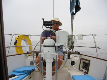
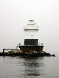 The wind was fairly light and coming right from the direction we wanted to travel so we motored. There was a lot of fog and mist so visibility wasn’t brilliant. We therefore didn’t get to see much. This stayed fairly constant all day so we motored all day. As a result we made good time and decided to make for a further port of call for that evening. We aimed for the second inlet along on the south shore of Long Island called Jones Inlet. This was a further 18 nautical miles and involved a 5nm trip up the inlet to find somewhere to stay.